St. Marks Trail
Tracing the route of Florida’s first and longest-operating railroad, the Tallahassee-St. Marks Historic Railroad State Trail is a great option for hiking or biking. The Tallahassee-St. Marks Historic Railroad State Trail runs 20.5 miles from Florida’s capital city to the coastal community of St. Marks, and it offers multiple entry spots; therefore, it runs along the Apalachicola National Forest, giving hikers and cyclists access to several other trails extending off of the main paved St. Marks Trail.
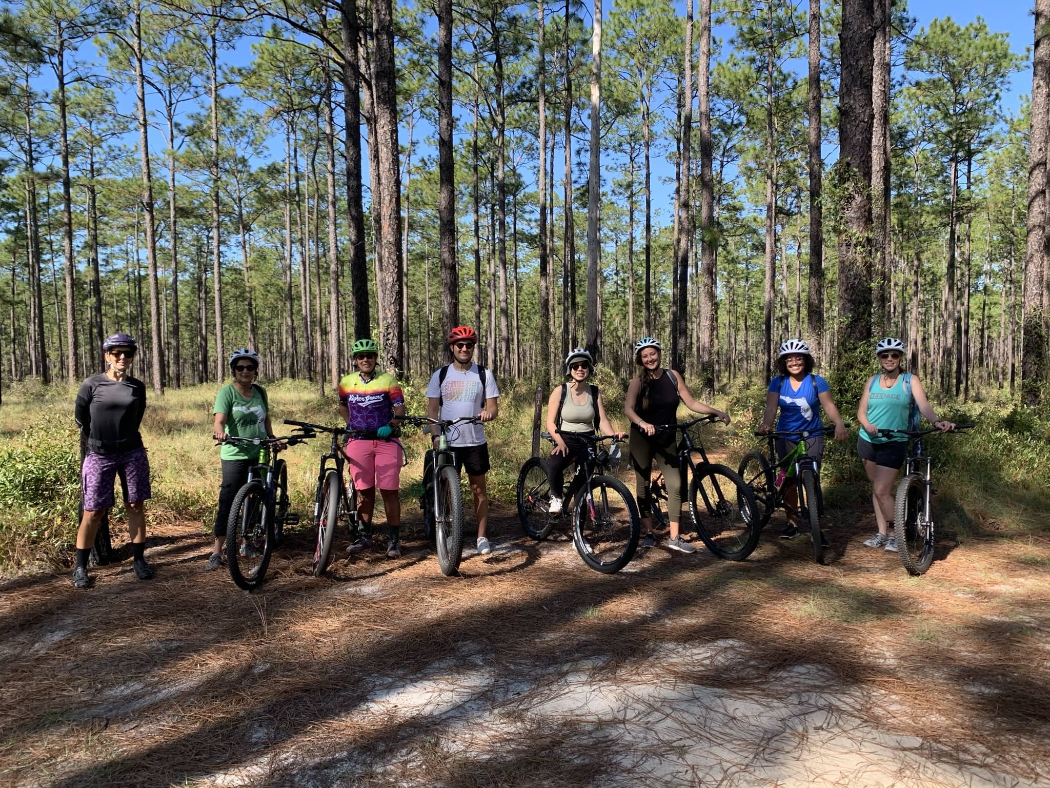
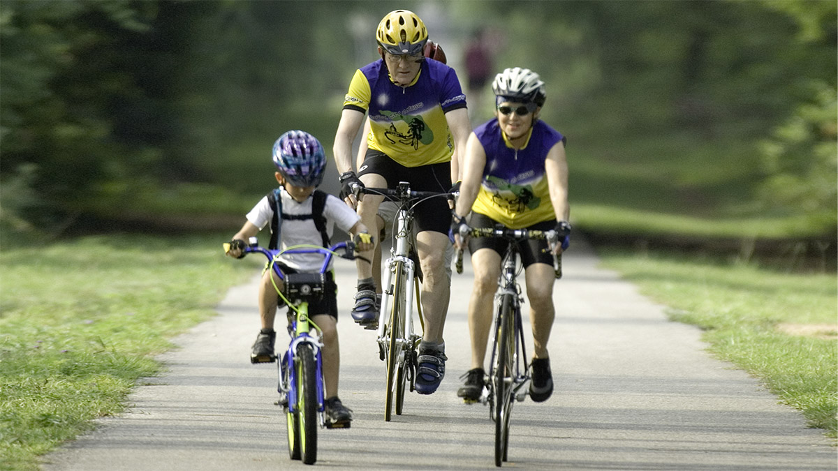
This was the first rail-trail in the Florida’s system of greenways and trails to be paved, providing a scenic experience for running, walking, bicycling, and skating. There is also a connecting off road bike trail and an adjacent trail available for equestrians. The corridor of the trail passes underneath towering stands of longleaf pine. It runs through part of the Apalachicola National Forest, past quiet, rural communities. Here you will find picnic and rest areas, a park, and a playground. The main trailhead, Capital Circle Trailhead, is located on the west side of Route 363 (Woodville Highway), where trail users can find parking and restrooms.
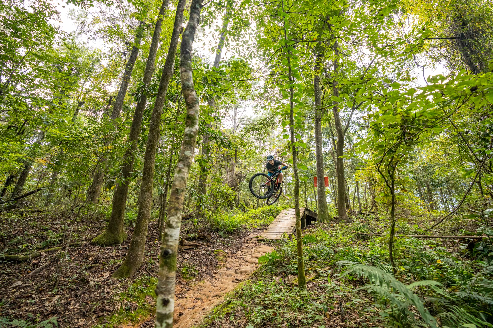
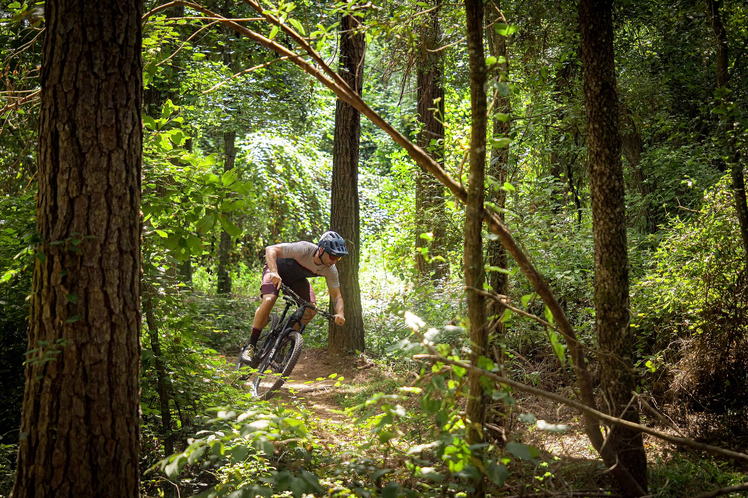
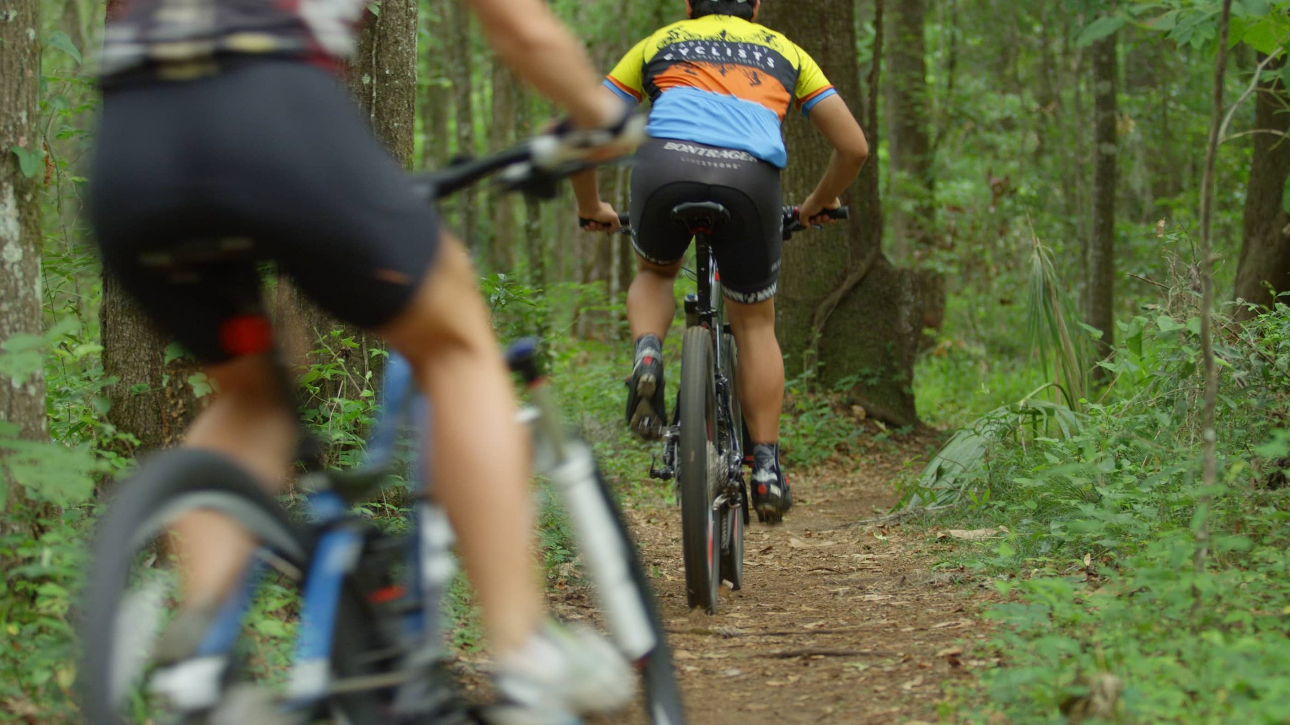
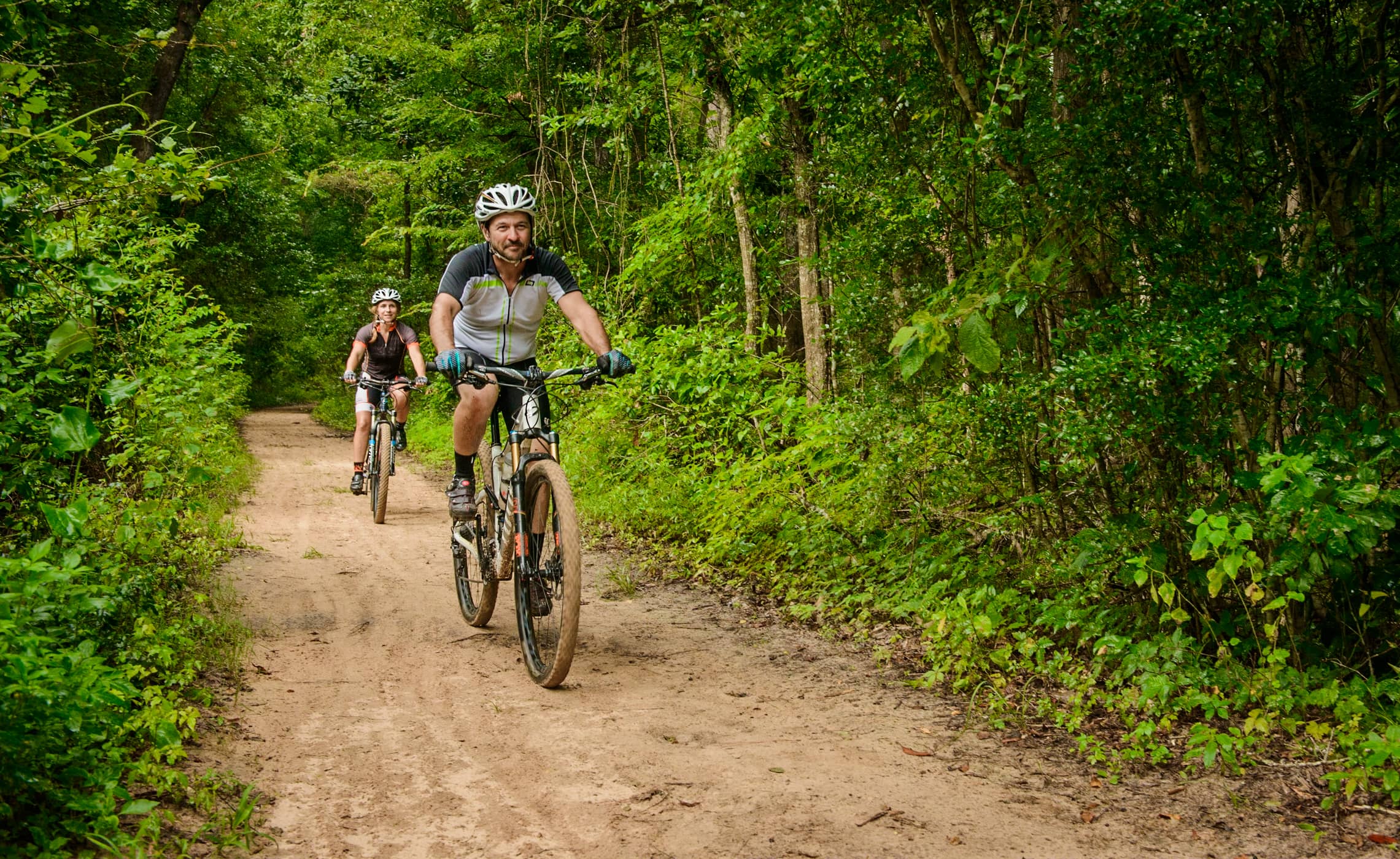
At the main trailhead, there is also access to the Munson Hills/Twilight Mountain Bike Trails in the Apalachicola National Forest.
Parking is available at the trailhead on SR 33/Woodville Highway, just south of Tallahassee, as well as the J. Lewis Hall Park in Woodville, which is the Wakulla Station Trailhead located near mile marker 9. Restrooms and water fountains are also available at this location.
Featured uses: Hiking, running, walking, biking, skating, equestrian riding, mountain biking, and wildlife viewing. Leashed dogs are permitted. Note that this trail is paved and level, offering access for almost anyone.
Main Trailhead Access: 4778 Woodville Highway Tallahassee, FL 32305
GPS: N 30.3715 / W -84.2688
For more information on St. Marks Trail, click here.
Amenities: Parking, restrooms, pavilions, picnic tables, water fountains, interpretive exhibit, playground, and wheelchair accessible.